
Cedar Creek Trail System
Cedar Creek Trail System
Project Type: Capital Improvement
Project Status: In Design or Study
Cedar Creek Trail System
Project Overview
- Segment A: Stella Olsen Park to Highway 99W at Meinecke Parkway
- This segment has been completed and is open to the public.
- Segment B: Highway 99W to SW Edy Road
- Deemed feasible; design phase pending.
- Segment C: SW Edy Road to Roy Rogers Road
- Deemed feasible; design phase pending.
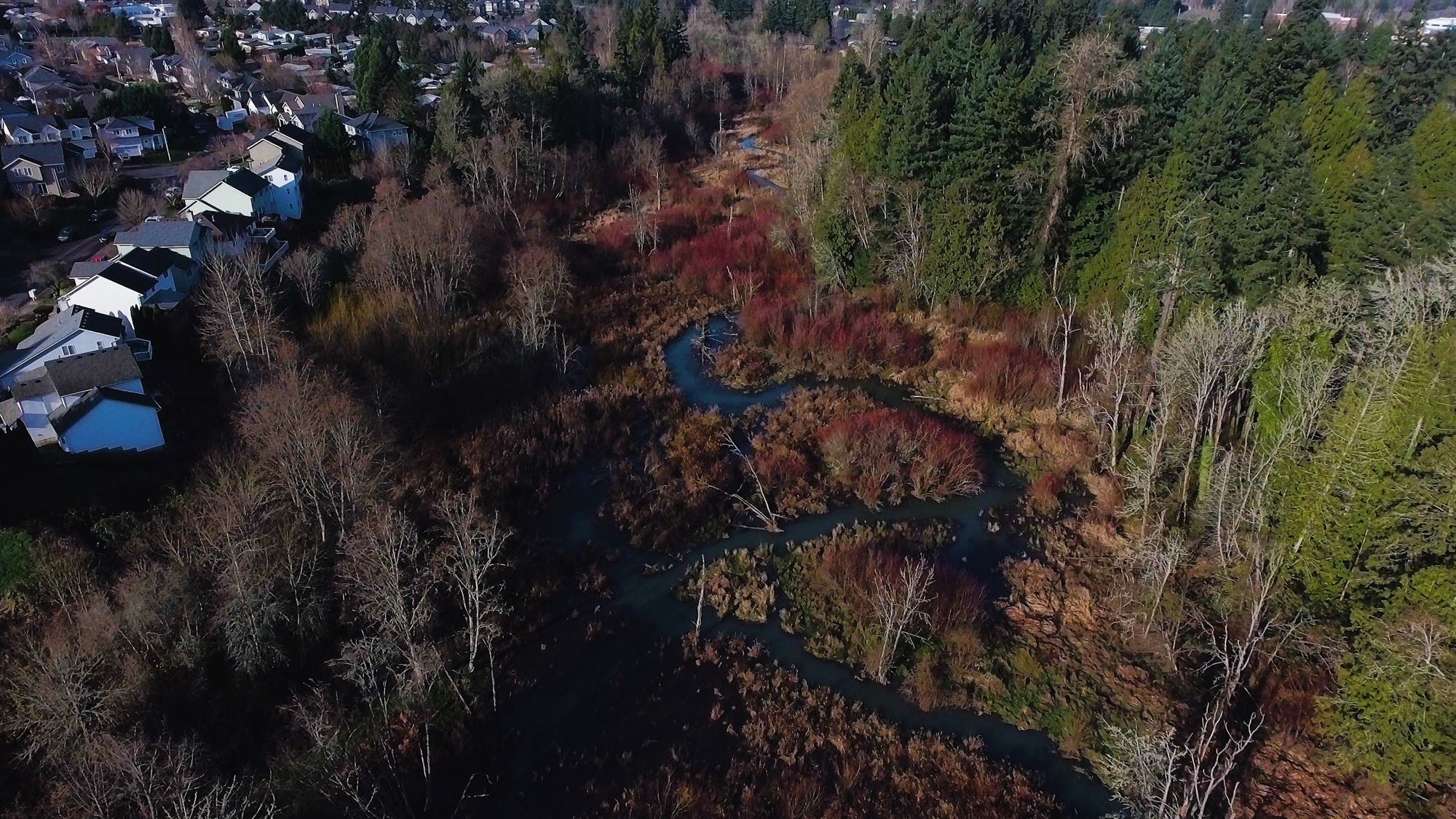
The Cedar Creek Trail is comprised of three primary segments of the regional trail system that run off-street between Old Town, Stella Olsen Park, Highway 99W, SW Edy Road and SW Roy Rogers Road via the Cedar Creek greenway corridor. The trail segments that extend beyond these areas utilize existing on-street sidewalks and pathways to complete the regional trail system through the City. The Cedar Creek Trail comprises a good portion of the West Fork of the Ice Age Tonquin Regional Trail System.
The trail segments southeast of Old Town will be constructed as part of the SW Oregon St Improvements Project (between Langer Farms Parkway and the Murdock Road roundabout) and with development of the Tonquin Employment Area to ultimately connect with neighboring cities to the east and southeast.
The preferred alignments for the two trail segments north of Highway 99W can be reviewed under the Supporting Documents section below.
Additionally, the City is confirming via a separate study & design project, the location and approximate cost to build a cut-n-cover style tunnel under the Highway 99W. Current cost estimates predict this project will exceed $10 million. The highway undercrossing project is listed as a long-term, unfunded project in the CIP plan.
Stella Olsen Park to Highway 99W at Meinecke Parkway
This 2-mile segment has been completed and is open to the public.
Highway 99W to SW Edy Road
Deemed feasible with the design phase pending, Segment B has been defined the preferred trail route within the corridor and determined the cost for construction of the trail. No funding is available at this time for construction, however.
The Local Trail Advisory Committee (LTAC), comprised of Sherwood residents who live near the Cedar Creek corridor, evaluated the different options for the trail alignment. The LTAC reviewed the feedback from community members, the information provided by consultants, and spoke to their neighbors about the project.
At the last LTAC meeting, the Committee reached consensus on a preferred alignment for Segment B. The Parks Advisory Board approved the Committee’s recommended alignment.
SW Edy Road to Roy Rogers Road
Deemed feasible with the design phase pending. More information on this segment will be added to this page as the project develops.
Supporting Documents
 Cedar Creek Trail Map - Stella Olsen Park to 99W at Meinecke Pkwy
West Fork of Ice Age Tonquin Trail System
ODFW Fish Permit Application
SHPO Archaeological Permit No 2950
USACE DSL Joint Permit Application for NWP 2020 277
1200 CN Plans
DEQ 401 Water Quality Certification for NWP 2020-277
Nationwide Permit NWP 2020-277 Verification Letter
ODFW Fish Passage Permit pa 02-0297
Specifications
Tree Removal & Planting Plan
Construction Plans
Project Timeline by Fiscal Year
Current Project Exhibit Stella Olson Park to 99W
Timeline for Federal Funding
Cedar Creek Trail Map - Stella Olsen Park to 99W at Meinecke Pkwy
West Fork of Ice Age Tonquin Trail System
ODFW Fish Permit Application
SHPO Archaeological Permit No 2950
USACE DSL Joint Permit Application for NWP 2020 277
1200 CN Plans
DEQ 401 Water Quality Certification for NWP 2020-277
Nationwide Permit NWP 2020-277 Verification Letter
ODFW Fish Passage Permit pa 02-0297
Specifications
Tree Removal & Planting Plan
Construction Plans
Project Timeline by Fiscal Year
Current Project Exhibit Stella Olson Park to 99W
Timeline for Federal Funding
 Welcome to the City of Sherwood’s Notification System, the city’s latest tool for providing residents with immediate information and warnings on water contamination, extreme weather warnings, unexpected road closures, etc. This is a free service provided by the City of Sherwood.