- Community
-
- About Sherwood Sherwood Heritage Center Chamber of Commerce Marjorie Stewart Center Sherwood Center for the Arts Sherwood YMCA Family Resources
- Events and Activities City Calendar Library Events Community Events Event Permits Monument Posting Request Community Meeting Rooms Recreation Parks and Trails Directory Recreation Programs Sherwood Fieldhouse
- Community Field House Sherwood Demographics Sherwood School District Sherwood Youth Sports Utilities Volunteer Opportunities Highway 99 Pedestrian Crossing Public Safety Police Tualatin Valley Fire & Rescue
-
- Business & Development
- Government
-
- City Council Boards and Committees Urban Renewal Agency Agendas and Minutes Municipal Code Public Records
- Building City Attorney City Manager Code Compliance Community Development Community Services Economic Development Emergency Management Engineering
- Finance Human Resources Library Municipal Court Parks & Recreation Planning Police Public Works Utility Billing
-
- Online Services
-
- Job Opportunities Utility Billing Alerts & Notifications Email Subscriptions Sherwood Flash Alert Police Flash Alert Events and Meetings Agendas and Minutes Calendar
- Contact the City Submit a Request or Concern City Offices Municipal Code Documents and Forms Documents and Reports Forms and Applications
- Social Media
-
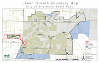
Interactive Map
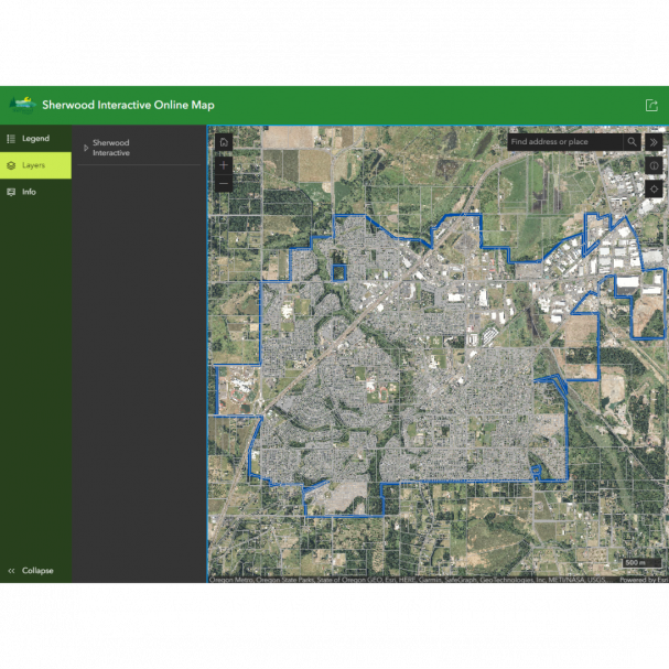
Click here to access the Interactive Map.
Our Mission
The City of Sherwood is providing the GIS for the public to be able to access information as needed. This data has always existed and been obtainable by any public citizen, however it is now readily available upon user demand through GIS.
Our mission is to provide up to date public information in a easy to use interface. Providing everyone access to the information, not just the experts.
Disclaimer:
The City of Sherwood's infrastructure records, drawings, and other documents have been gathered over many years, using many different formats and standards. While the data provided is generally believed to be accurate, occasionally it proves to be incorrect; thus its accuracy is not guaranteed. Prior to making any property purchases or other investments based in full or in part upon the material provided, it is specifically advised that you independently field verify the information contained within our records.